Gemini Visual Acuity Experiments: Seeing Earth from Space
During the Mercury-Atlas 9 mission in May 1963, astronaut L. Gordon Cooper Jr. captured 29 color photographs of Earth from his Faith 7 spacecraft. He reported seeing fine details like vehicles on dirt roads, trains, and house tops from an altitude of 100 miles. However, this claim was met with skepticism. Vision experts believed that even individuals with 20/20 vision could not discern objects smaller than 150 feet from orbital altitudes. Despite Cooper's reportedly exceptional 20/12 vision, his assertions, along with those of other Mercury astronauts, raised doubts about their sanity among mental health professionals, who speculated about the effects of weightlessness causing hallucinations.
To address these concerns and scientifically validate the astronauts' claims, NASA, in collaboration with partners, designed and conducted two visual acuity experiments during the Gemini V and Gemini VII missions. The first experiment utilized an optical device similar to binoculars, where astronauts identified the orientation of rectangles presented at varying contrast levels. The second, more ambitious experiment involved creating massive ground-based "Eye-Q" charts. These charts consisted of gigantic white rectangles, ranging from 150 to 600 feet in size, laid out on dark soil in Laredo, Texas, and near Carnarvon, Australia. Astronauts were tasked with identifying the orientation of these rectangles from orbit.
While factors like cloud cover, sunlight reflecting off the spacecraft windows, and unfavorable orbital positions sometimes hampered observations, astronauts on both missions were able to identify parts of the Laredo "Eye-Q" site during certain orbital passes. Combined with the results from the optical device experiments, these observations confirmed that astronauts could indeed discern features like roads and ships with visible wakes from orbit. Crucially, these experiments also demonstrated that an astronaut's vision did not degrade during extended spaceflights, even up to two weeks.
The implications of these experiments extended far beyond simply verifying astronaut reports. Understanding the capabilities of human vision from space, alongside the analysis of early astronaut photographs, proved invaluable for Earth sciences. Geologists, geographers, oceanographers, and other scientists recognized the potential of Earth observation from space. This led to the development of new Earth-monitoring instruments, with NASA, the U.S. Geological Survey, the Office of Naval Research, and the U.S. Department of Agriculture advocating for their use in tasks such as crop inventory, geological mapping, disaster monitoring, and studying oceanographic processes.
The compelling applications identified by the scientific community, spurred by astronaut observations and photography, were instrumental in the creation of the Earth Resources Technology Satellite (ERTS), later known as Landsat 1. Launched by NASA in 1972, Landsat 1, along with data from the Earth Resources Aircraft Program, provided crucial information for monitoring oceans, agricultural lands, and natural disaster sites. Over the past six decades, NASA has continued its commitment to observing Earth from various platforms, aiming to address challenges and gain a deeper understanding of our planet.
Note: Subsequent research has indicated that approximately 70% of astronauts experience Spaceflight Associated Neuro-ocular Syndrome (SANS) during longer spaceflights.
Fresh materials — MMA
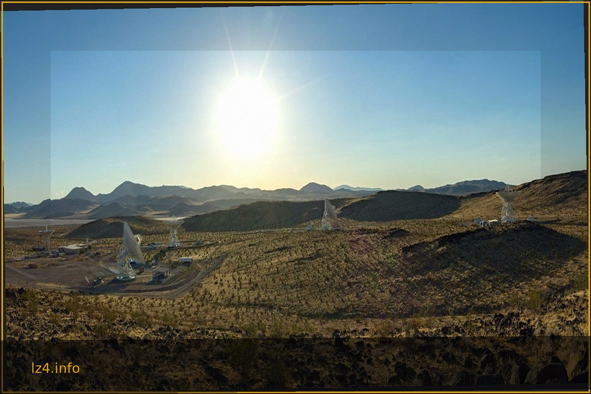
Panorama Showcasing the 34-Meter Antennas of the DSN’s Goldstone Complex
The expansive desert landscape of NASA's Deep Space Network (DSN) Goldstone complex in California is highlighted, featuring several imposing 34-meter (114-foot) satellite dishes. These powerful antennas are crucial for communicating with spacecraft across the vastness of space. Among them is t
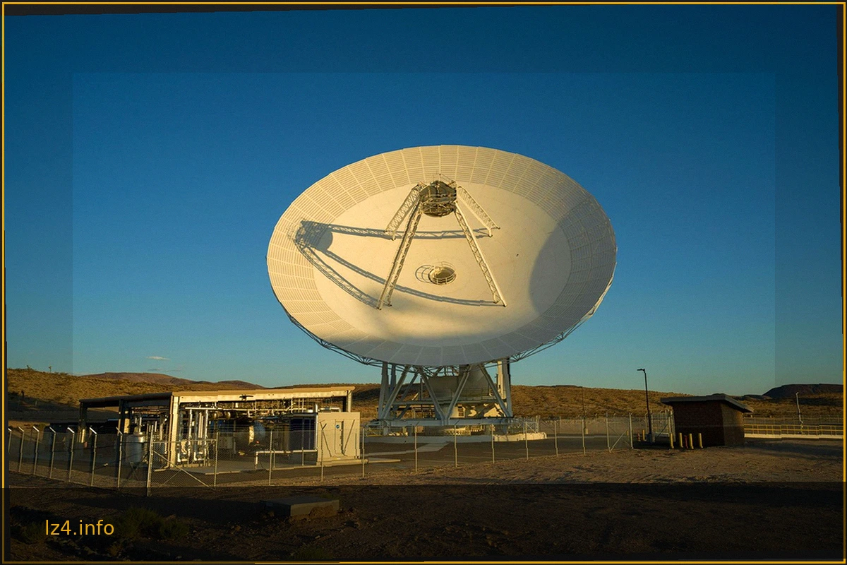
NASA Deep Space Network's New Goldstone Antenna Becomes Operational
The Deep Space Network's (DSN) Goldstone complex, located near Barstow, California, has activated its latest antenna, Deep Space Station 23 (DSS-23). This significant addition is a 34-meter (114-foot) multifrequency beam-waveguide antenna, designed to bolster the DSN's capacity and dramaticall
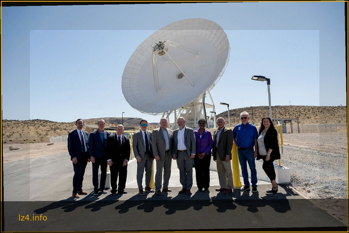
NASA Deep Space Network: Inauguration of Deep Space Station 23
The Jet Propulsion Laboratory (JPL) and the Deep Space Network (DSN) celebrated a significant milestone with the official ribbon-cutting ceremony for Deep Space Station 23 (DSS-23). This event, held on August 25, 2026, at the Goldstone complex near Barstow, California, marked the completion of
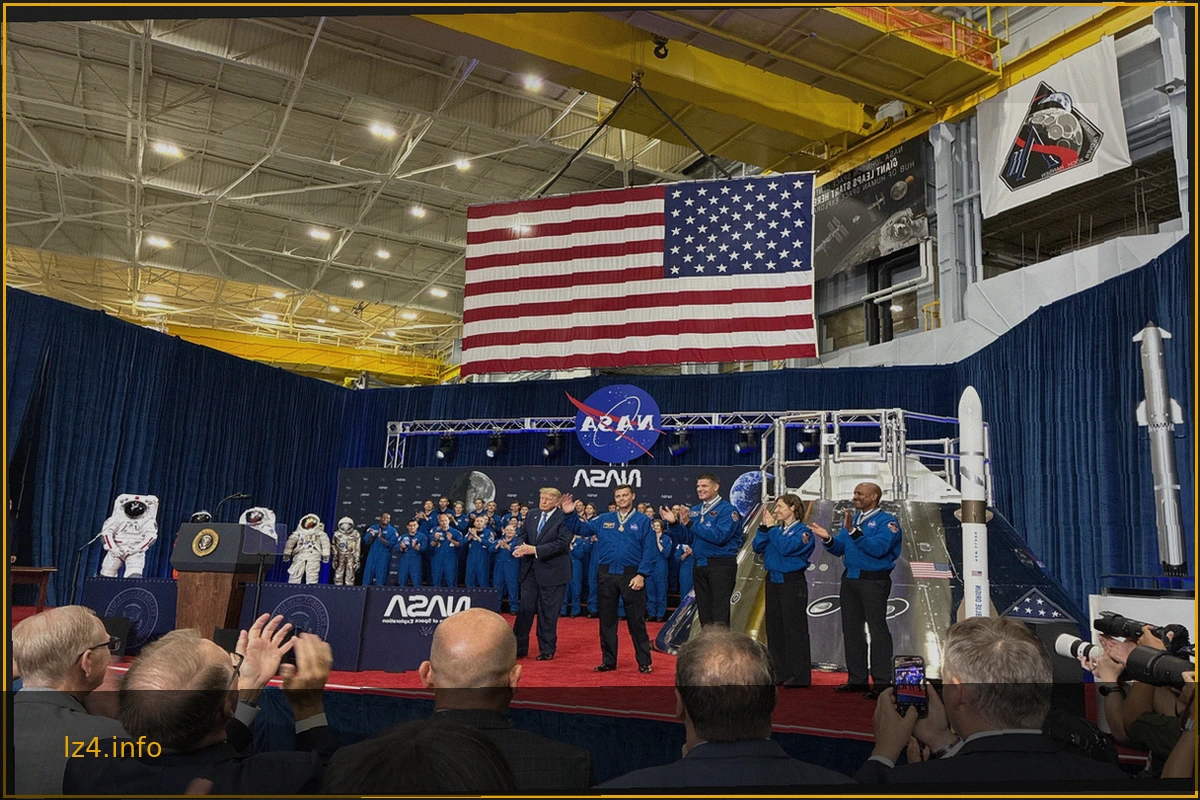
President Honors Artemis II Crew with Congressional Space Medal of Honor
President Donald J. Trump presented the Congressional Space Medal of Honor to NASA astronauts Reid Wiseman, Victor Glover, Christina Koch, and Canadian Space Agency astronaut Jeremy Hansen. This high honor was bestowed upon them for their exceptional service during the Artemis II mission. The
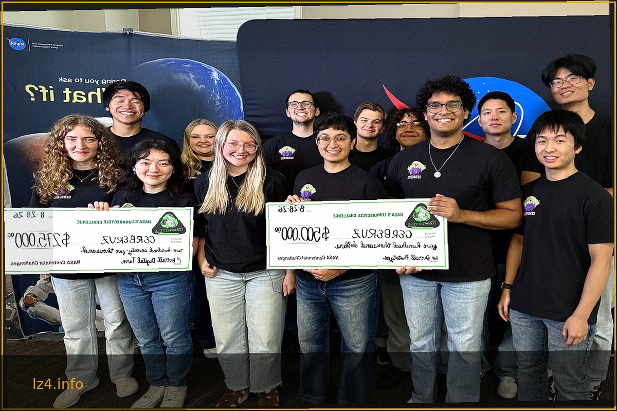
MIT Team Secures Top Honors in NASA's LunaRecycle Challenge for Advanced Space Waste Recycling
NASA has announced the Massachusetts Institute of Technology (MIT) team as the grand prize winner of Phase 2 of its LunaRecycle Challenge. This initiative aims to develop innovative solutions for reducing waste during space missions by recycling common materials such as fabrics, plastics, foam
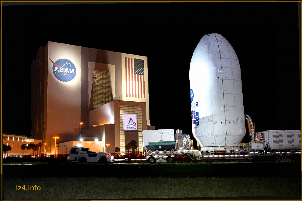
Nancy Grace Roman Space Telescope Moves to SpaceX Hangar for Launch Preparation
The Nancy Grace Roman Space Telescope, a groundbreaking observatory designed to unravel the mysteries of dark energy and dark matter, has reached a significant milestone. Encased within its protective payload fairing, the telescope was transported from NASA's Payload Hazardous Servicing Facili